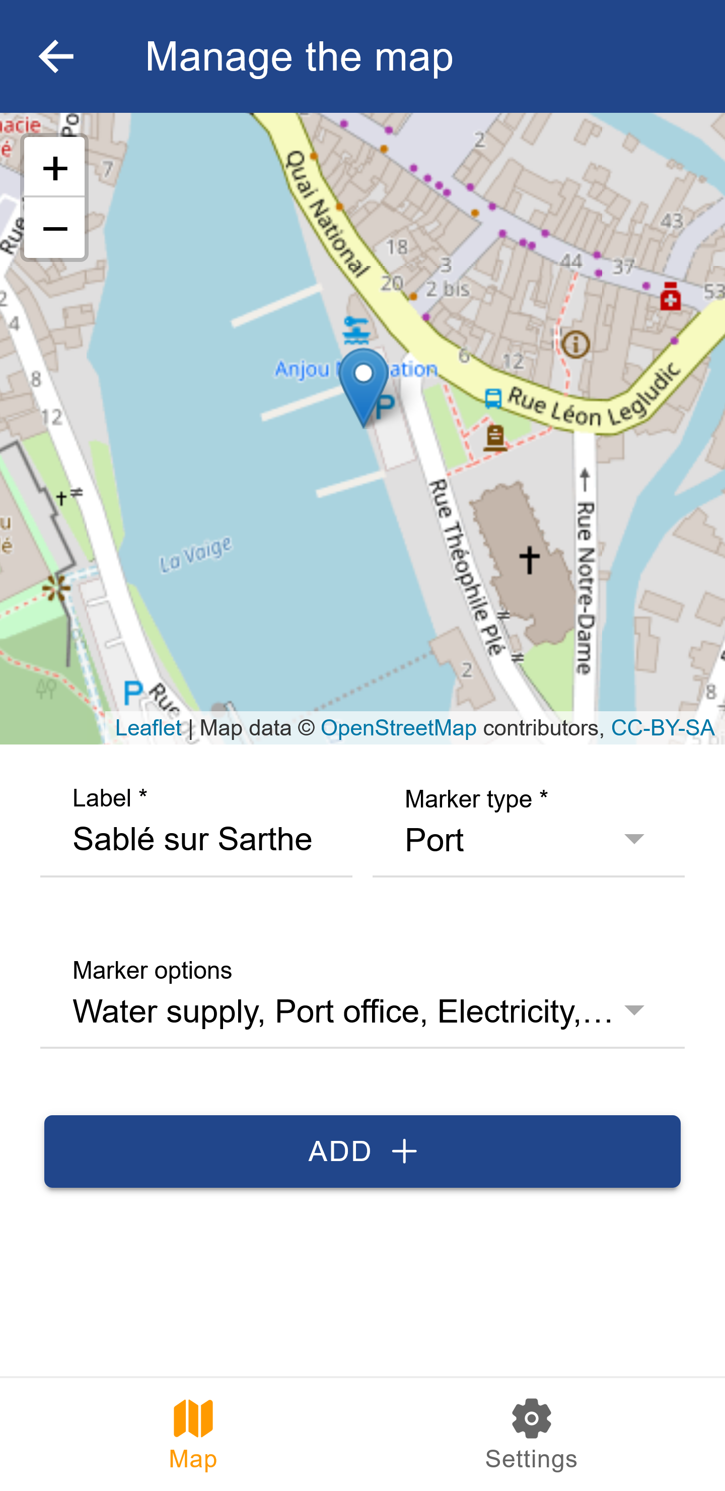
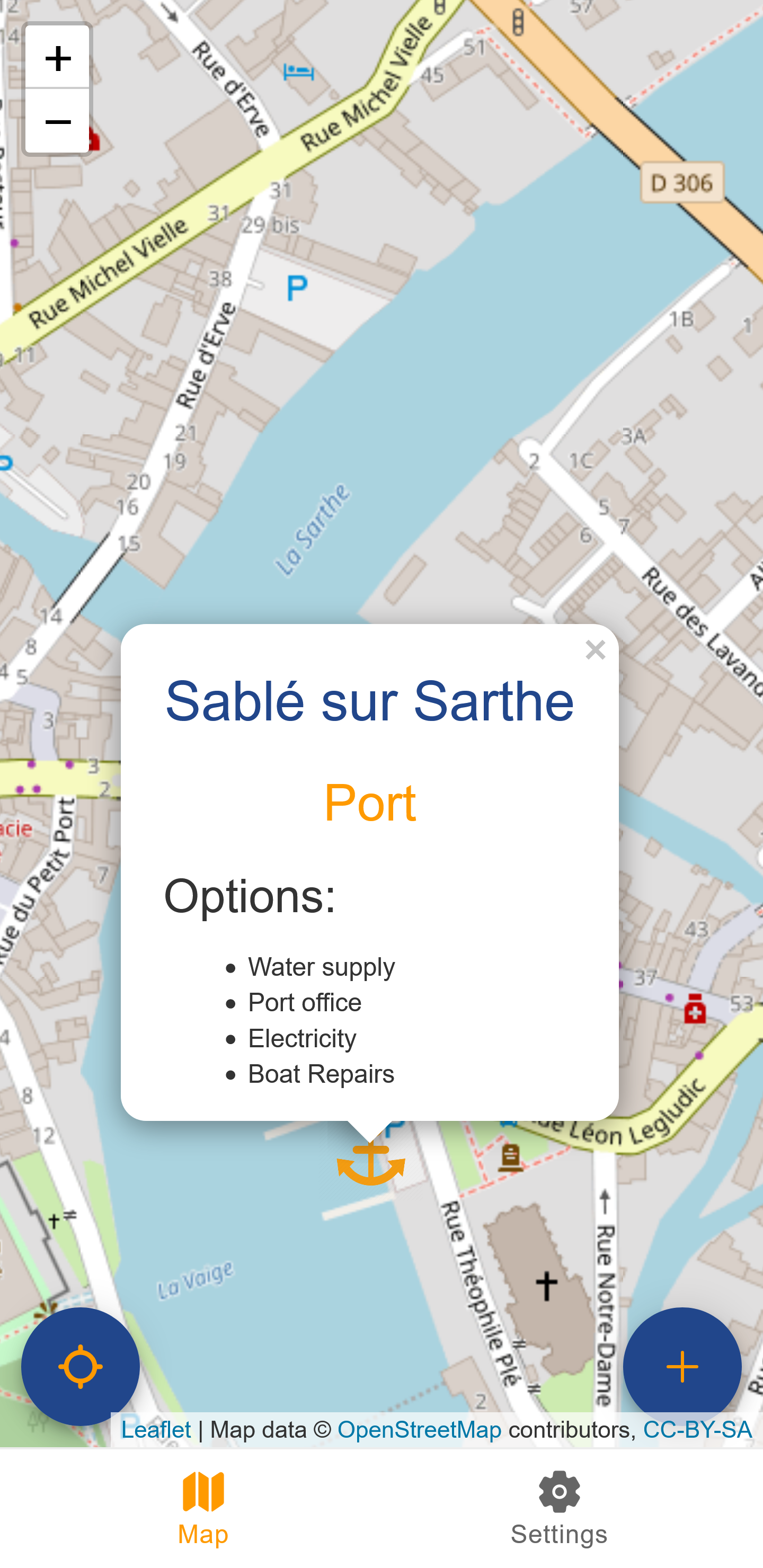
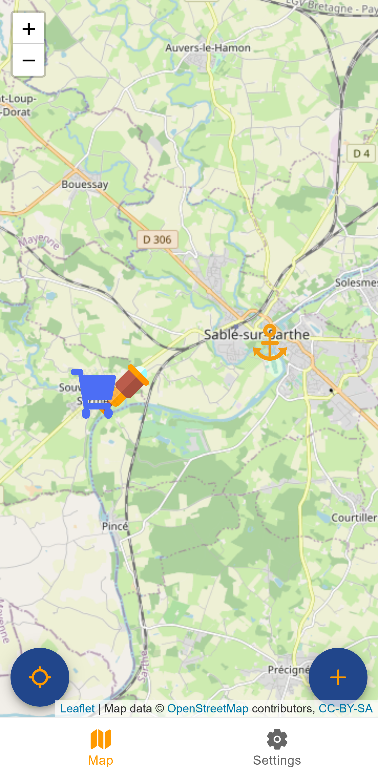
A map web-mobile application to navigate the waterways and see the mooring points.
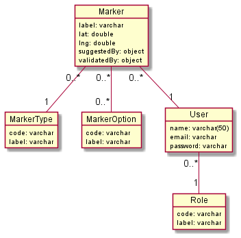
The backend is in TypeScript with the Framework NestJS and the ORM TypeORM
For the frontend, Ionic React is used and LeafletJS to manage the map
It was an opportunity for me to dive more into backend (I'm a frontend dev in my job), to play with maps (it's one of my passions along with history) and to test React more deeply (I'm a fan of Angular), all this to give a serious project that I like
Currently in version 1.0 for my own needs
But not yet fully publishable to a wide audience
- Better icon and logo
- Update also the position
- Modo approval of marker
- User can update his own marker
- Admin zone to manage user
- Modo zone to manage marker
- Better doc and testing
- i18n for French and German
- Review the performance of the map and the display of icons according to the zoom and the number of icons present
- Marker options specified by marker type
- i18n for Dutch, Spain, Italian, Norwegian, Swedish, Danish, Finnish
- Conquer the world
I am looking for a design specialist to make a real logo and icons. As well as any UI ideas!
Any help with i18n is welcome.